Tech Talk
If you’re a techie and this is your kinda thing, check it out. The world is being mapped out, and here’s a rare explanation in Khmer. As with history, geography can be pretty contentious. Who does the mapping? What for? Who has access? Who gets to choose labels?
Considering how people get worked up about Cambodia’s border, this talk actually might be pretty relevant to the larger context.
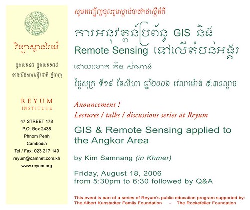
Announcement!
Lectures/Talks/discussions series at Reyum
GIS & Remote Sensing applied the Angkor Area
by Kim Samnang (in Khmer)
Friday August 18 2006
5:30pm to 6:30 followed by Q&A
This event is part of a series of Reyum’s public education programs
The Albert Kunstadter Foundation / The Rockefeller Foundation
Reyum Institute
47 Street 178
P.O. Box 2438
Phnom Penh
Cambodia
Tel / Fax: 023 217 149
reyum@camnet.com.kh
www.reyum.org
[from What's On]


